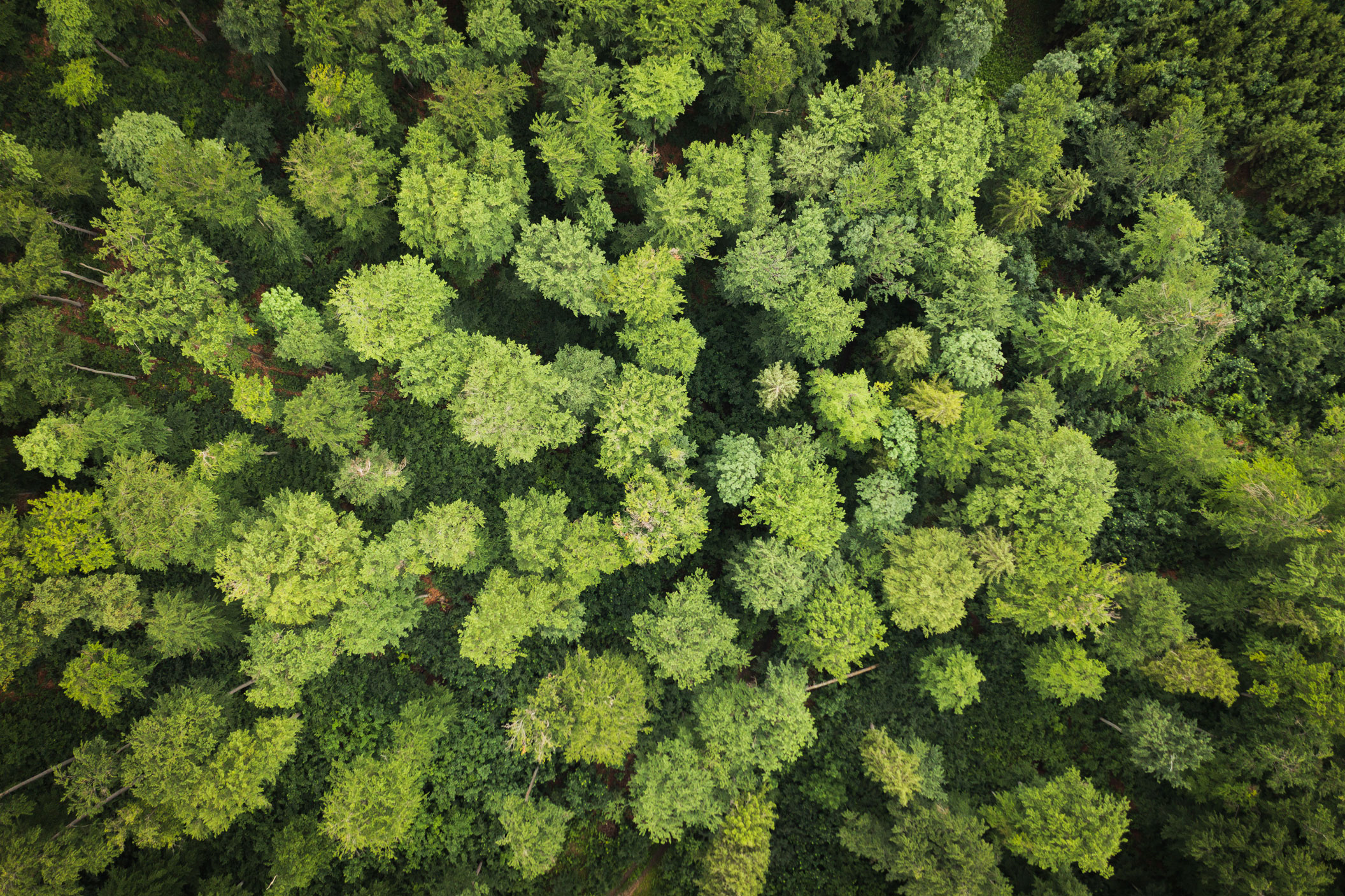
• Aerial view of the botanical garden, Gardens by the Bay in Singapore.
    • Tools and Data

    Dashboard for assessing the utility of global spatial data for national planning

    A review of global datasets to support governments (through their technical teams) in understanding some of the opportunities that high-quality global spatial data offer, especially in the absence of national data.

    • Publication

    Mapping for nature-based solutions: Assessing the utility of global spatial data for national planning

    The paper aims to support governments (through their technical teams) in understanding some of the opportunities that high-quality global spatial data offer, especially in the absence of national data. It accompanies a review of global datasets and aims to build trust in the use of high-quality datasets by highlighting some of the barriers to this for national-scale planning and how these barriers may be overcome.
    • Publication

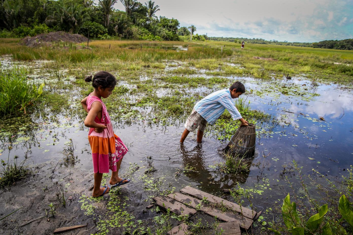
    Fair, equitable and participatory spatial planning for climate and nature goals

    Spatial planning can further the recognition of Indigenous Peoples and local communities’ rights and tenure security, and their contributions to nature and climate goals. This paper explores the ways in which Indigenous People and local communities can engage in spatial planning processes, and includes case studies from the Congo Basin, Canada, Lao PDR and Peru.

    • Publication

    Mapping nature-based solutions to societal challenges

    A summary of the different spatial analysis approaches available to map potential locations for nature-based solutions that provide the greatest benefits.

    • Publication

    Remote Sensing for Monitoring Impacts of Land-use Change on Biodiversity and Carbon Stocks: The role in the spatial planning process

    The paper explores the opportunities that Remote Sensing technology provides for biodiversity and carbon monitoring at global scales.

    • Publication

    Putting spatial planning on the map: How high-ambition countries are achieving nature and climate goals

    Integrated spatial planning can help to operationalise nature and climate commitments. This brief shares experience from five countries.

    • Publication

    Tech to track: Harnessing the potential of spatial data & digital technologies to prioritise nature and climate action

    White paper: Presenting the opportunities for leveraging new forms of biodiversity and ecosystem services data and technologies for integrated nature and climate strategies.

  • Aerial view of the botanical garden, Gardens by the Bay in Singapore.
    • Publication

    Location Matters: Using spatial intelligence for business action on nature and climate

    Spatial intelligence can inform nature-positive & net-zero business strategies. A paper from SPACES and the WEF Global Future Council on Nature-based Solutions.

  • Aerial view of road between green summer forest and blue lake in Finland
    • Publication

    Spatial intelligence and business: data application for a nature positive and net zero future

    Companies can use spatial data to assess, commit, transform & disclose on nature & climate. A paper from SPACES & World Business Council for Sustainable Development.

Contact us for more information on spatial intelligence for a sustainable future

info@spaces-coalition.org